We had set the alarm for 4 AM to get up and go see the sunrise on the north rim. When we woke up it started raining so we wussed out. It turned out to be a beautiful morning but we snoozed anyway. We had home fries and Ployes for breakfast and then got rolling.
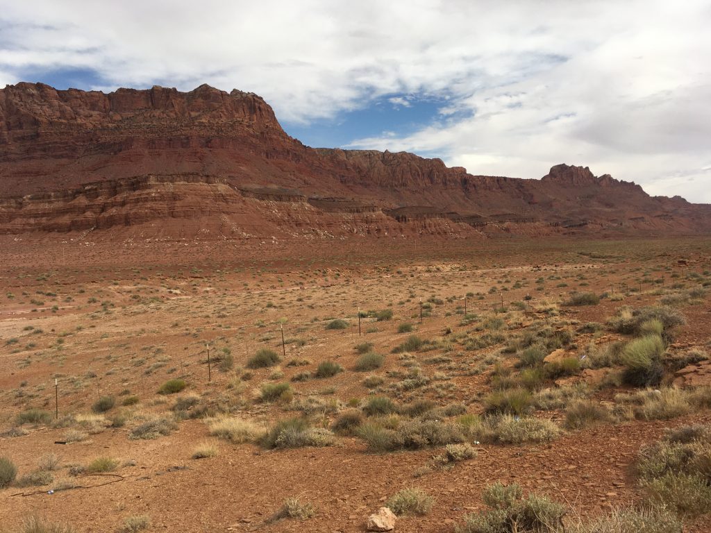
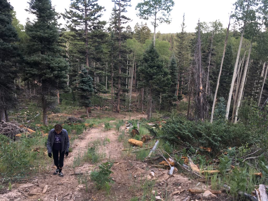
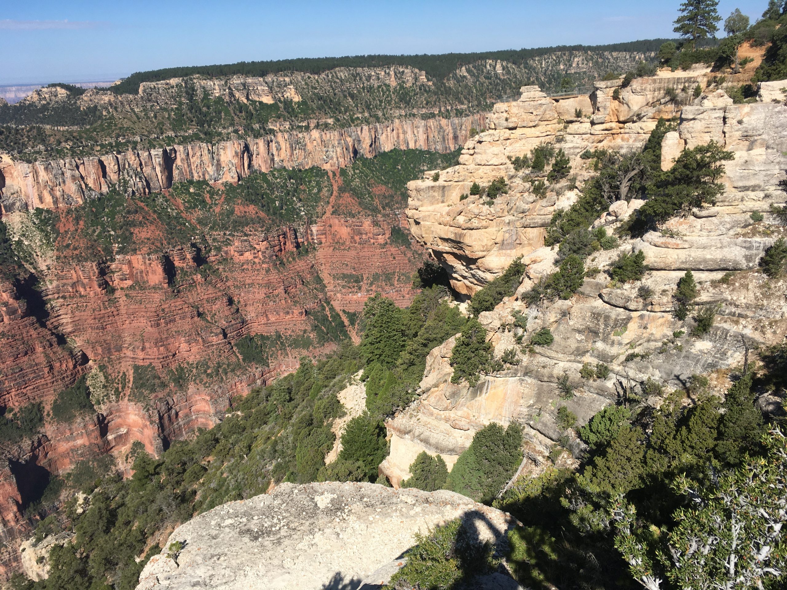
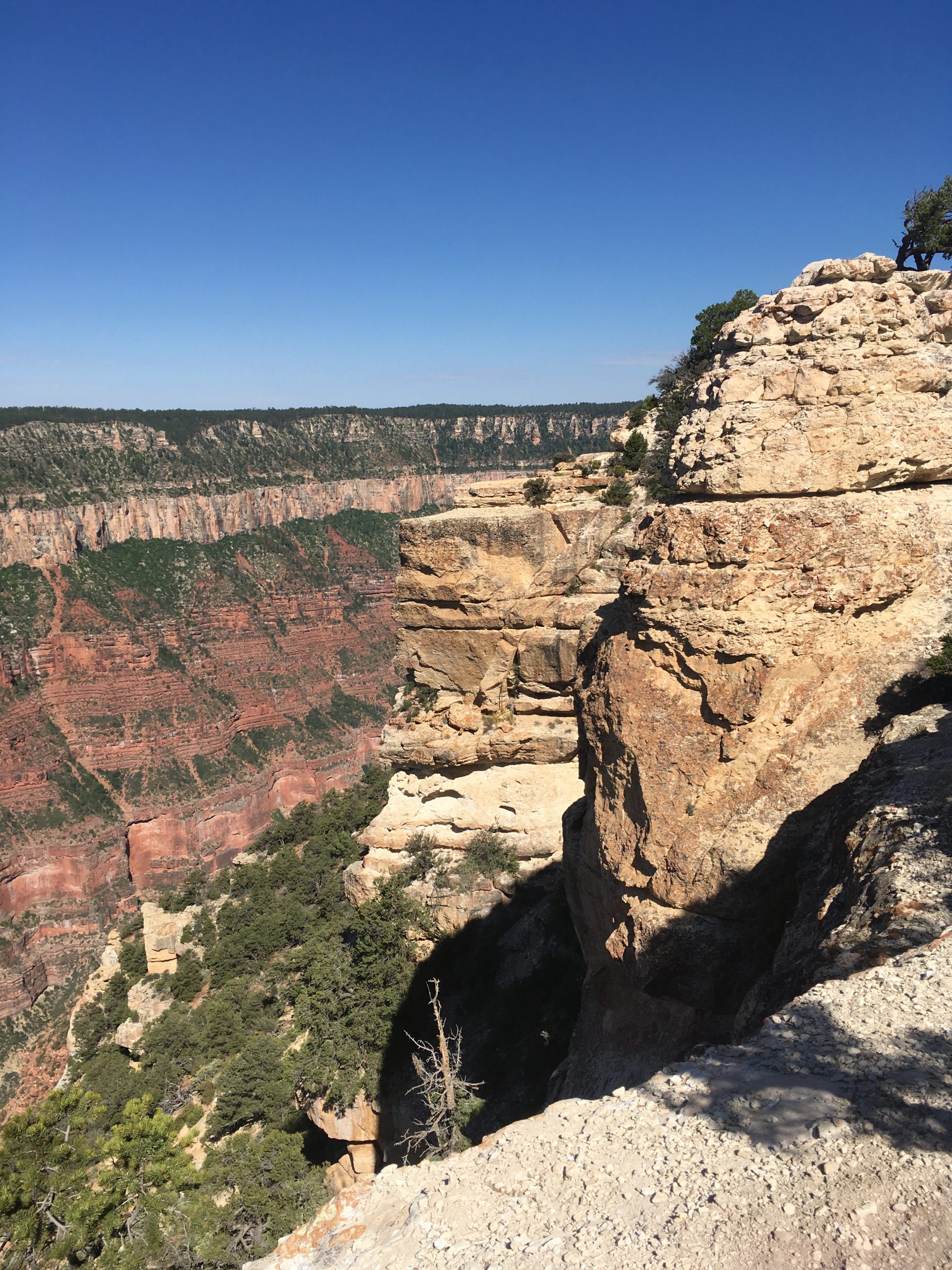
The ride to the north rim from fire road 22 starts out in the meadows. Vast grassy areas that look perfectly mowed with the road staying mostly to one side. Past the meadows you climb and twist and turn and then you come out on the ridge at the top of the north rim. There’s the campground on the right and some turnouts and parking lots on the left. We stopped immediately and parked. Hopped out and started gawking. We hiked down a little path to a rock outcropping and stood there and listened to the silence. Watched the birds flying out over the canyon and took some pics. It’s too much to comprehend! The sheer size. The centuries of history you’re seeing etched into so much rock.
We thought we were looking at the Grand Canyon but it was actually roaring springs canyon, which is spectacular too! We hiked back up and moved the rig to the visitor center parking lot. We checked out some info signs out front. It was pretty early – maybe 8:30 or so, so it wasn’t very busy. Most people were wearing masks and keeping a safe distance. All the signs referenced a “pocket map” but we couldn’t find any. I asked an employee and he said to try the lodge.
The lodge was just waking up. The restaurant was not open and the gent at the desk said we could’t go down inside but we could look around from the lobby. He gave us a pocket map too. We decided to head outside for the view. We walked out on the patio where some folks were drinking coffee and eating breakfast. The view is spectacular. The rain was long gone. The sky was clear with high puffy clouds. The sun was hot but not too hot yet.
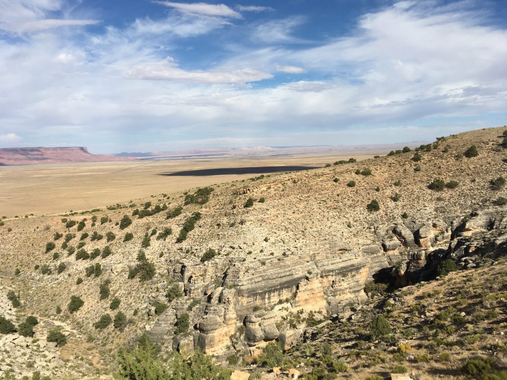
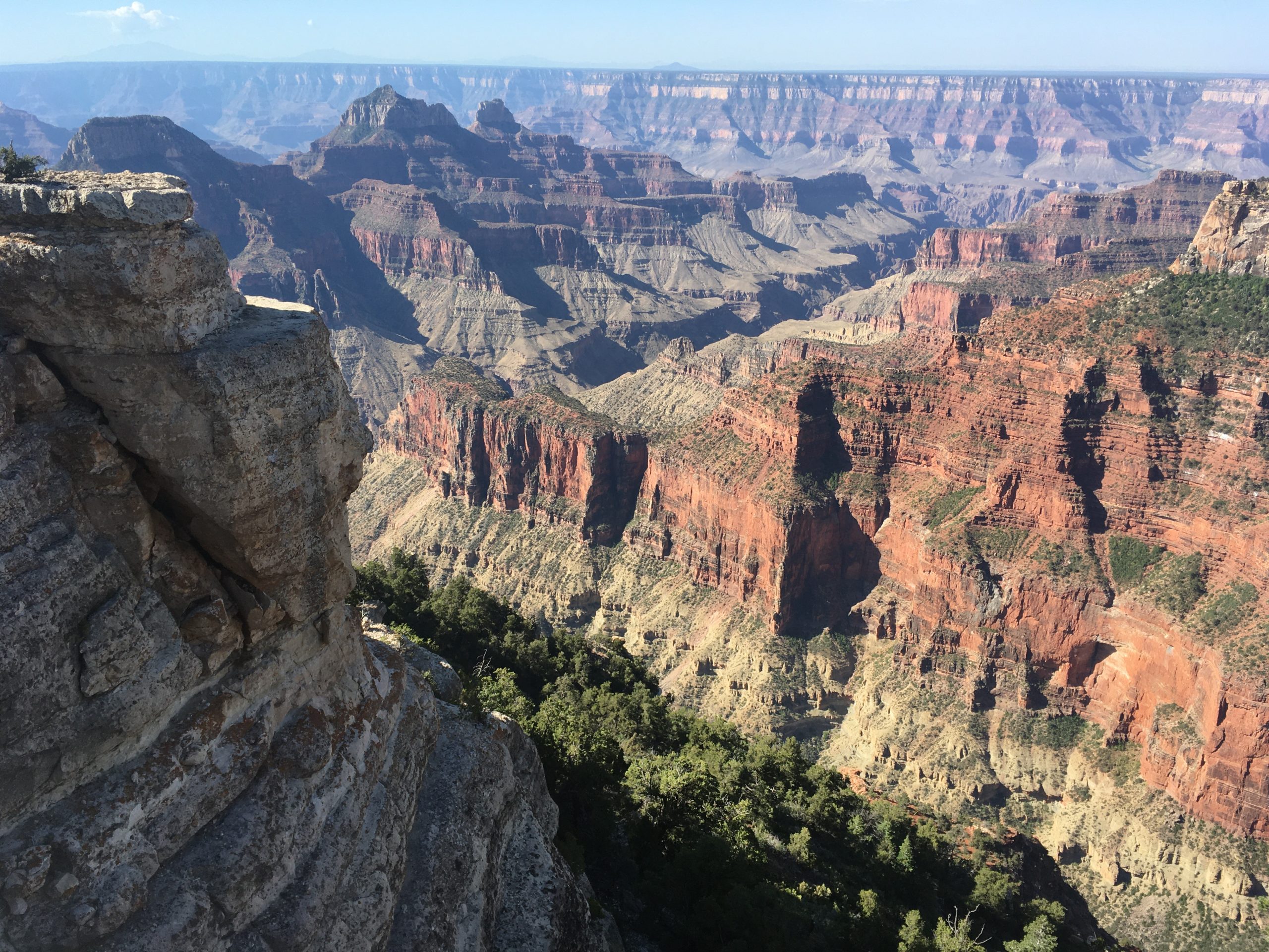
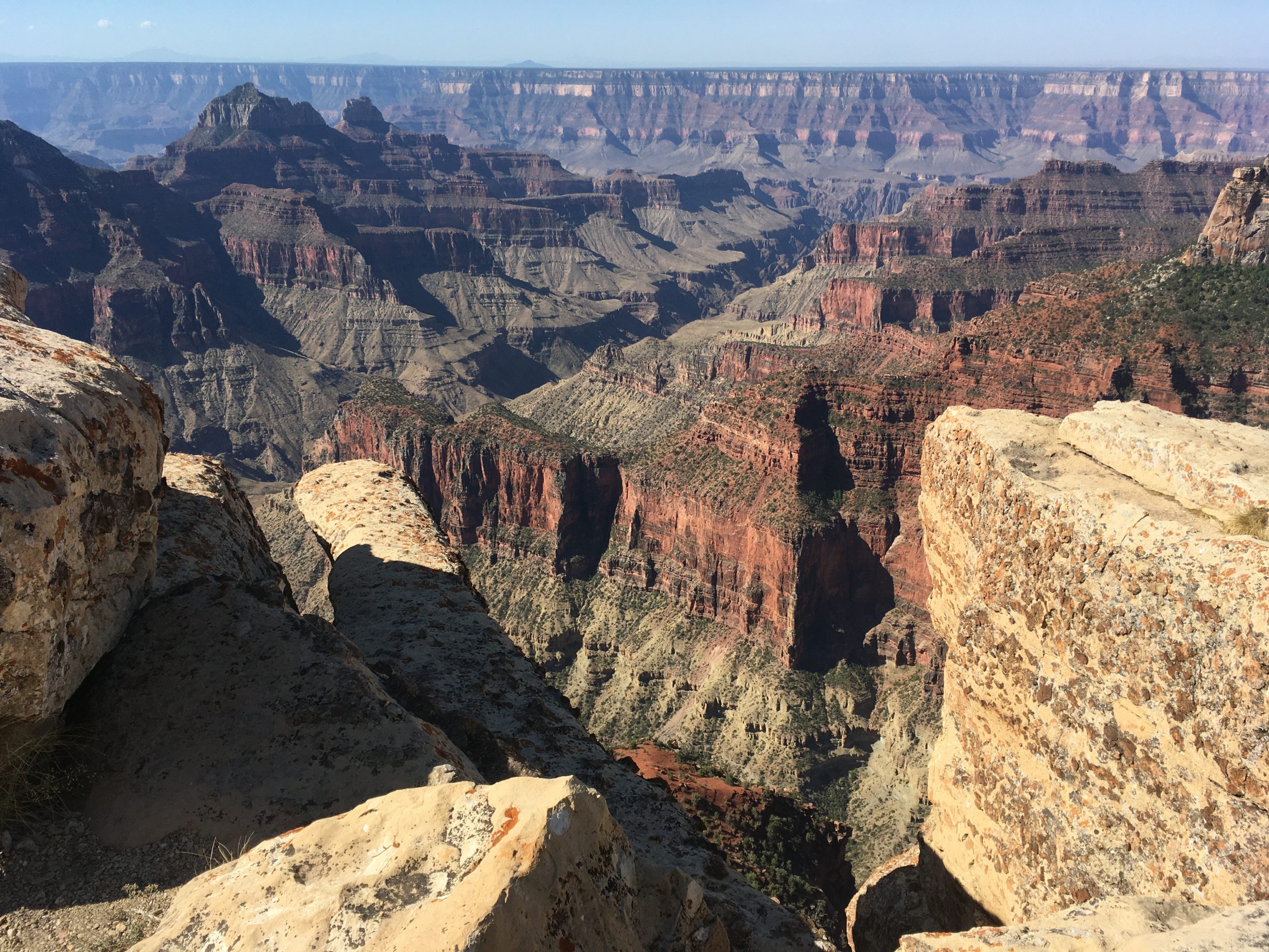
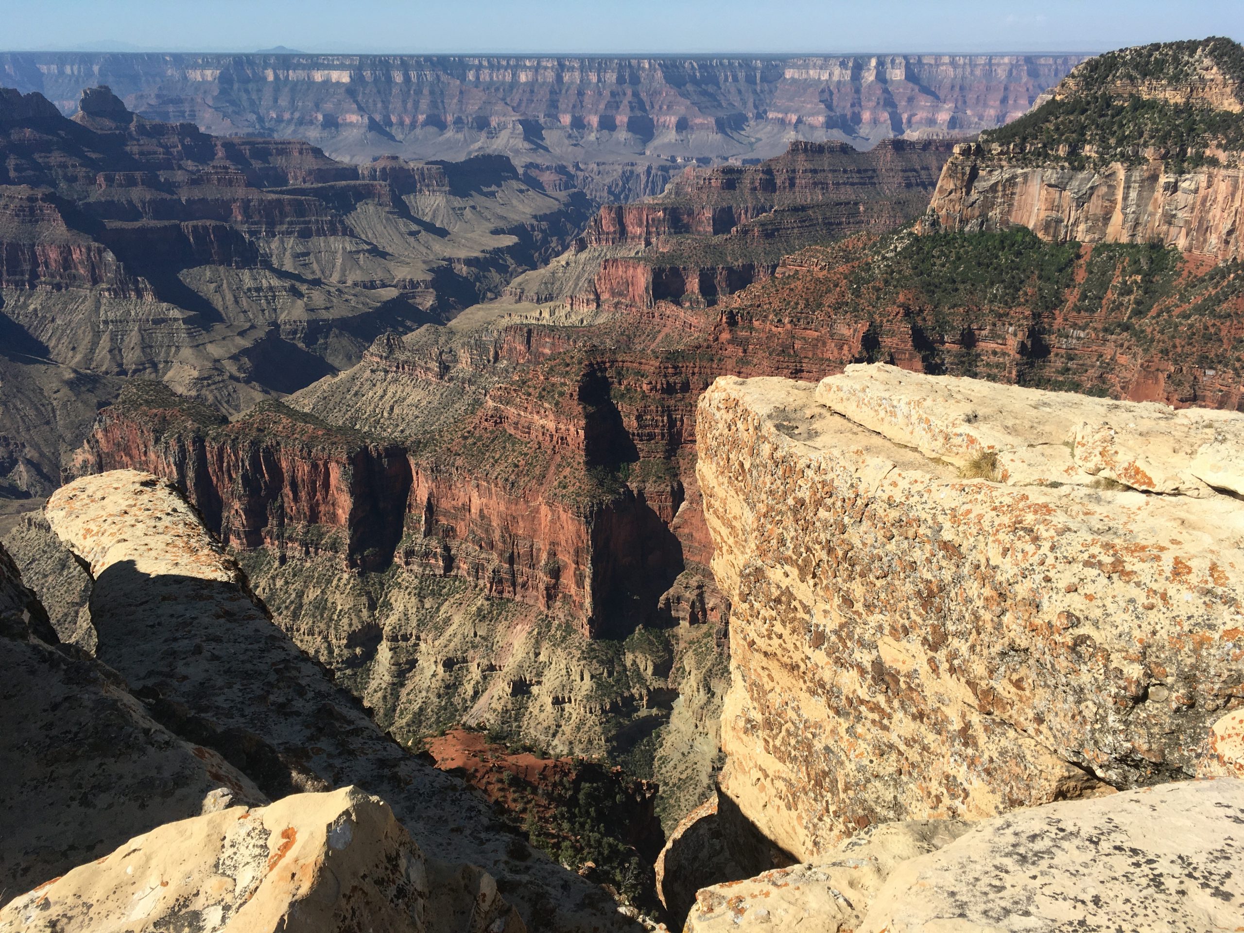
We walked on a path behind the visitor’s center towards Bright Angel Point. There’s an incredible rock outcropping with a fence around it for peering into the canyon. We took a few selfies out there and marveled at the expansive view. It’s hard to grasp the extent of history you’re looking at when viewing centuries old rock layers descending to the Colorado River which isn’t even visible from this outcropping because it’s so far below you.
The Bright Angel Point trail is an easy trail out to an incredible overlook on the north rim. Everywhere along the trail the views are mind boggling and breath taking. Every direction is a postcard view. On this day there were a few groups of people making their way out to the Point. There were two young couples. One of the guys had a nice camera and they were taking turns climbing up on scary peaks and outcroppings off the trail and shooting death-defying glamour shots. In most cases, I’d be doing the same thing but I was not compelled to risk my life for photo on this journey. It sucks to grow up.


We walked around a bit more and then headed back to the camper. We had some brunch and then took off for points Northwest. While driving back out off the North Rim we decided to make it “Canyon Day” and head for Zion National Park in Utah. What the heck, right?!!
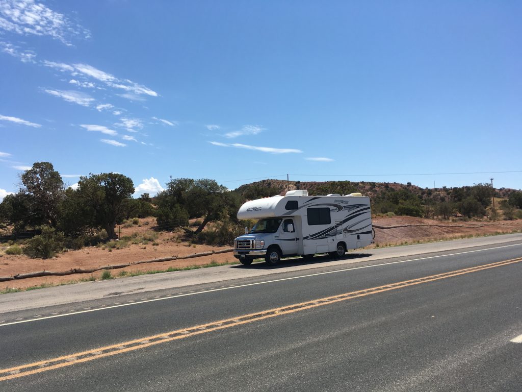
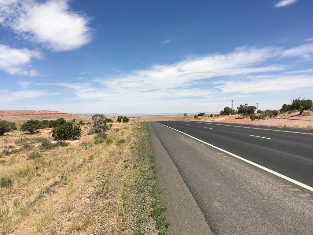
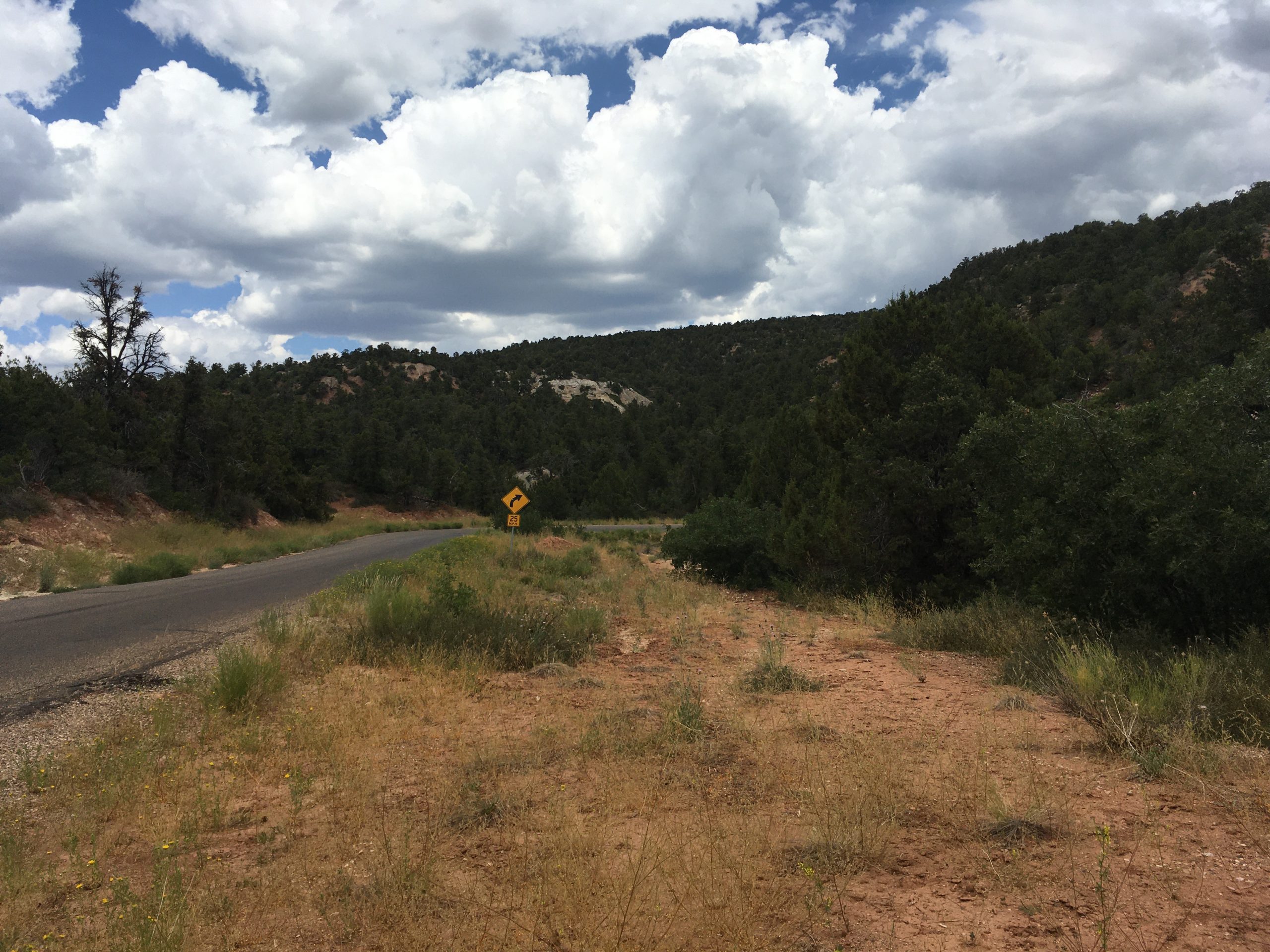
The drive to Zion was beautiful and relaxing. The roads were pretty smooth so no dishes got jostled. Nothing fell on our heads from the attic above the engine room. A nice drive!
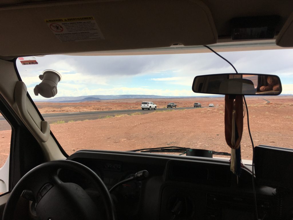
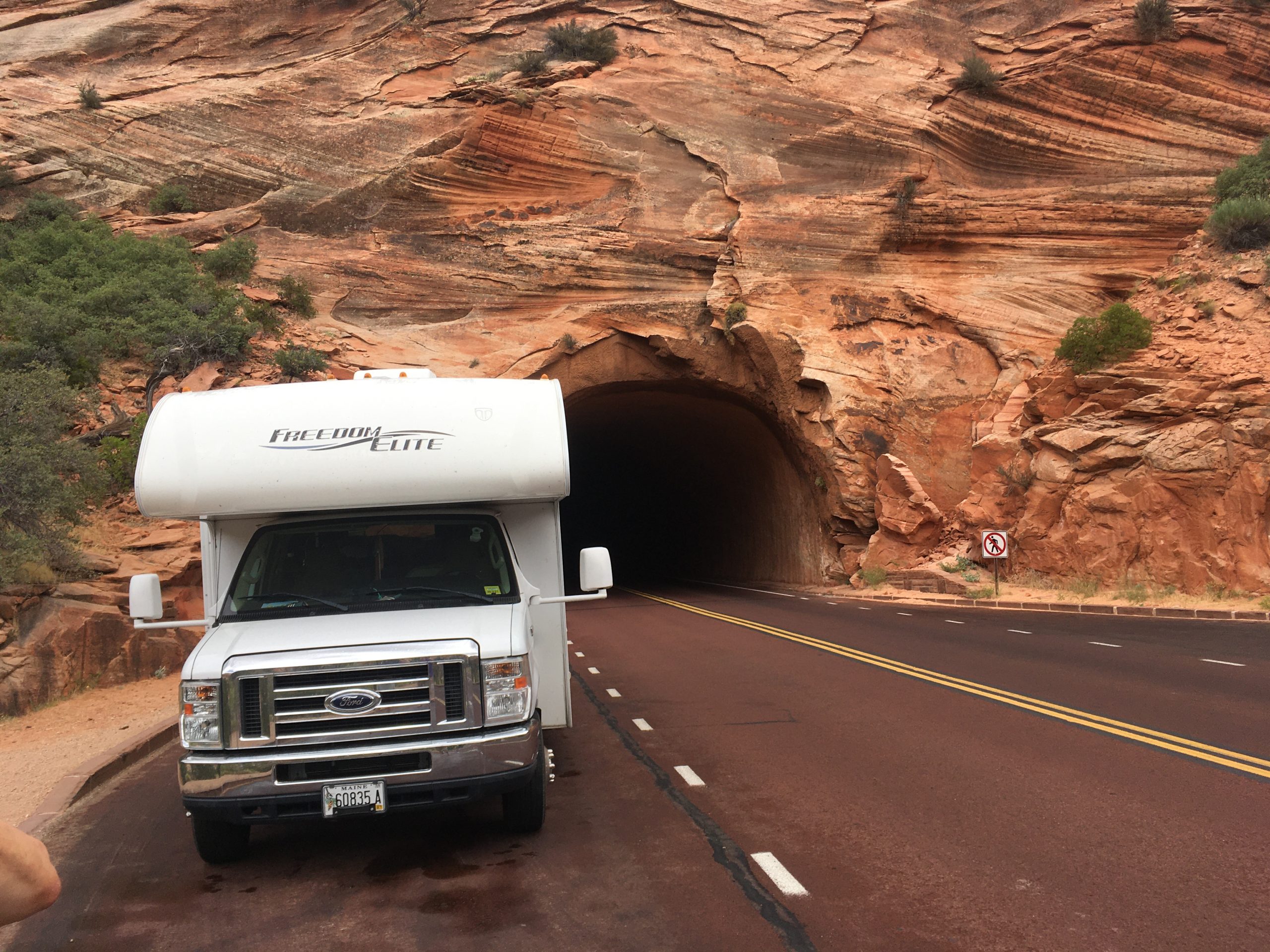
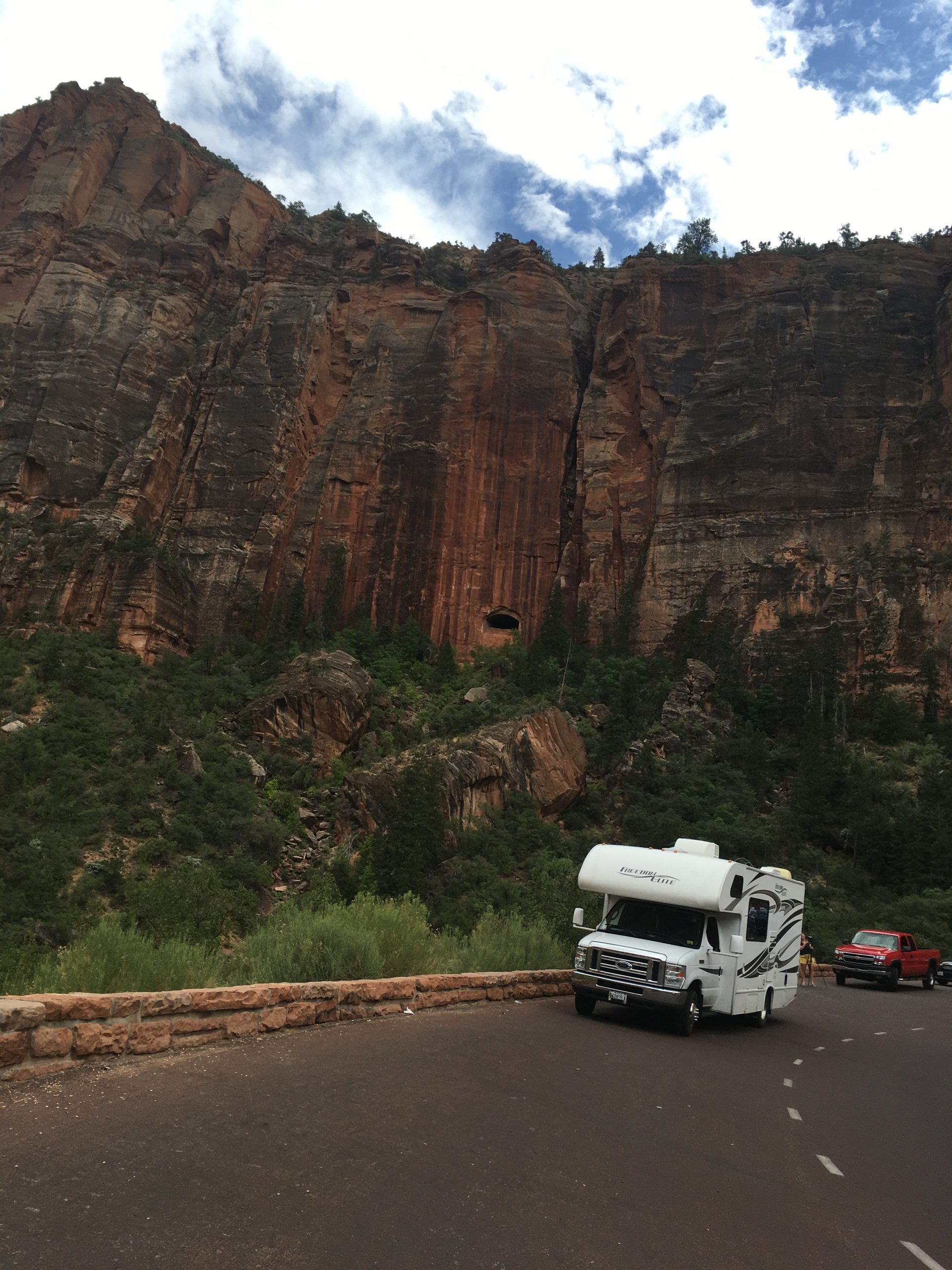
At the entrance to the park you pay an entrance fee. If you have a large vehicle like ours you pay an extra fee to have the rangers stop traffic at the long tunnel allowing you to drive down the middle so you don’t rip your roof off. It’s pretty fun driving down the middle of the road in that tunnel with no oncoming traffic!
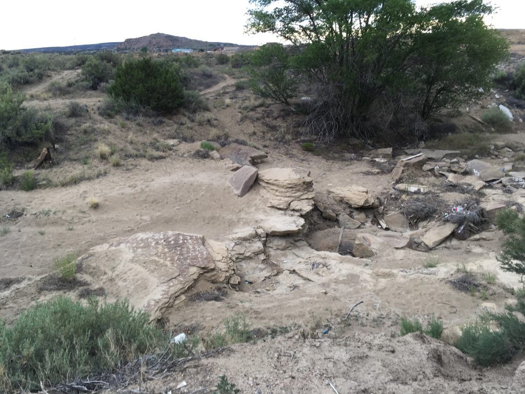
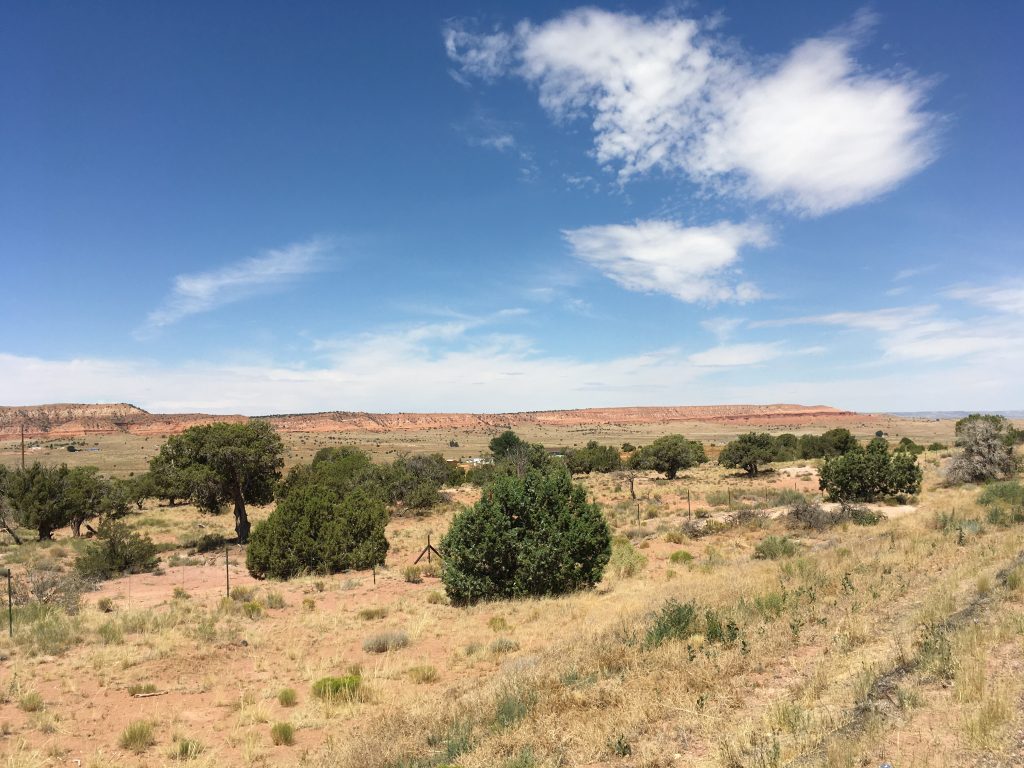
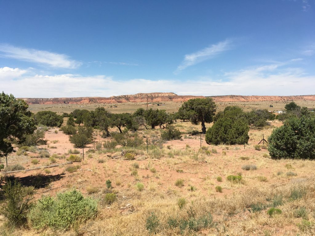
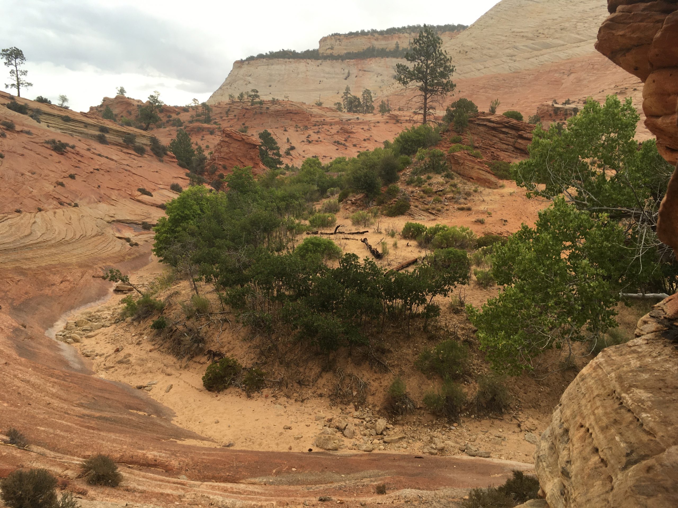
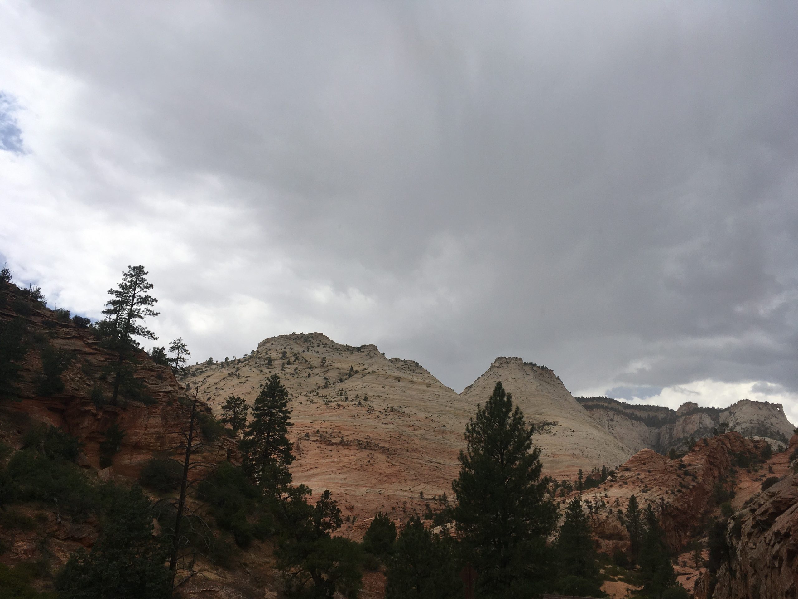
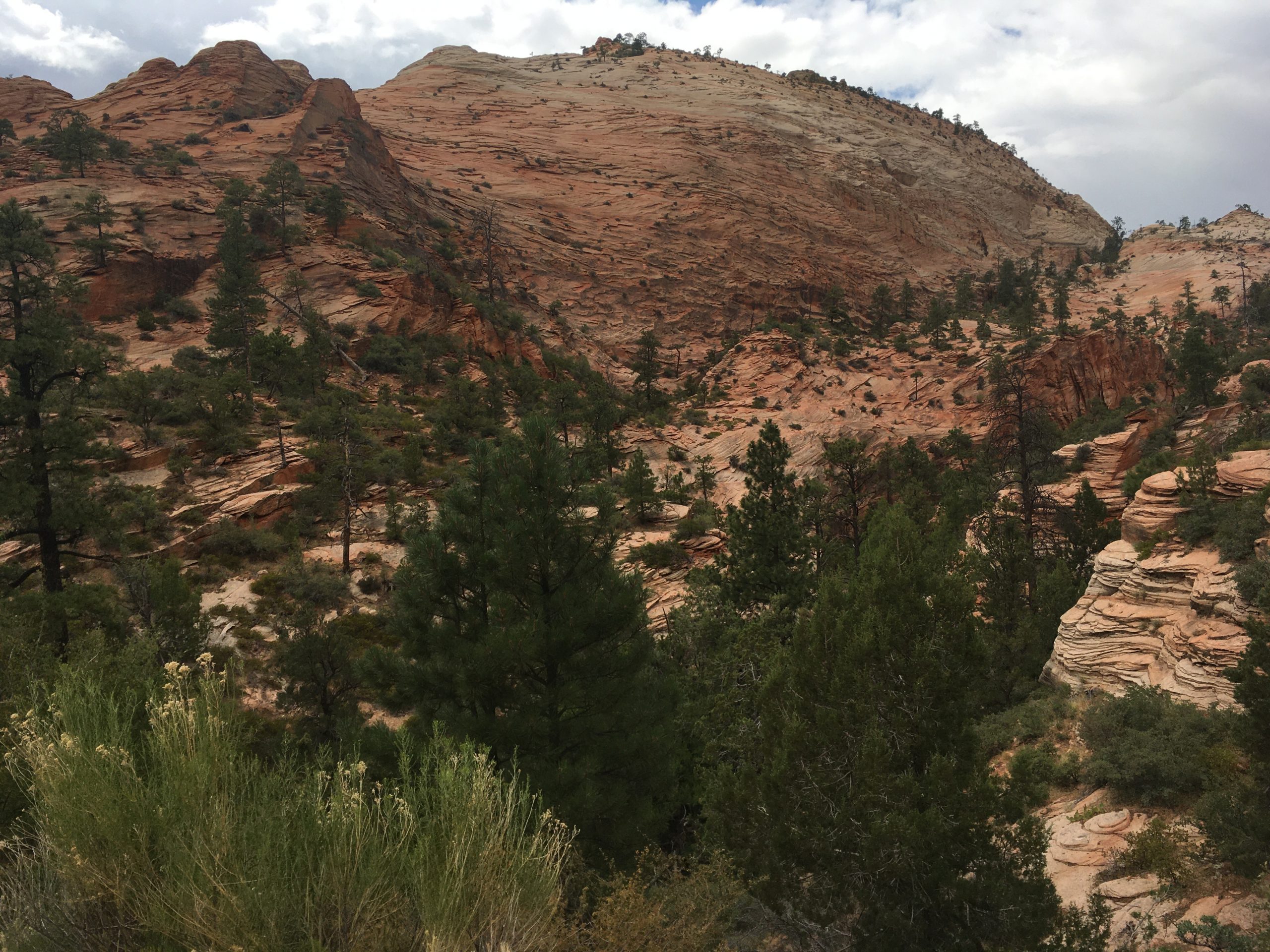
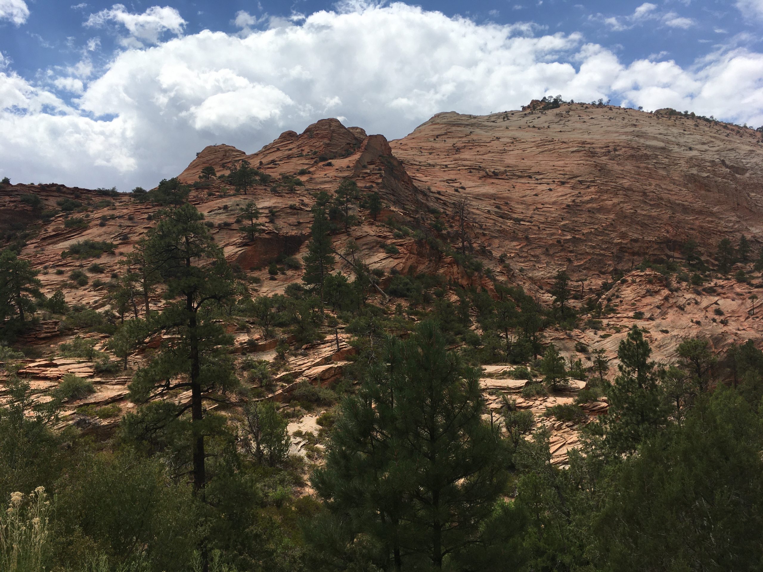
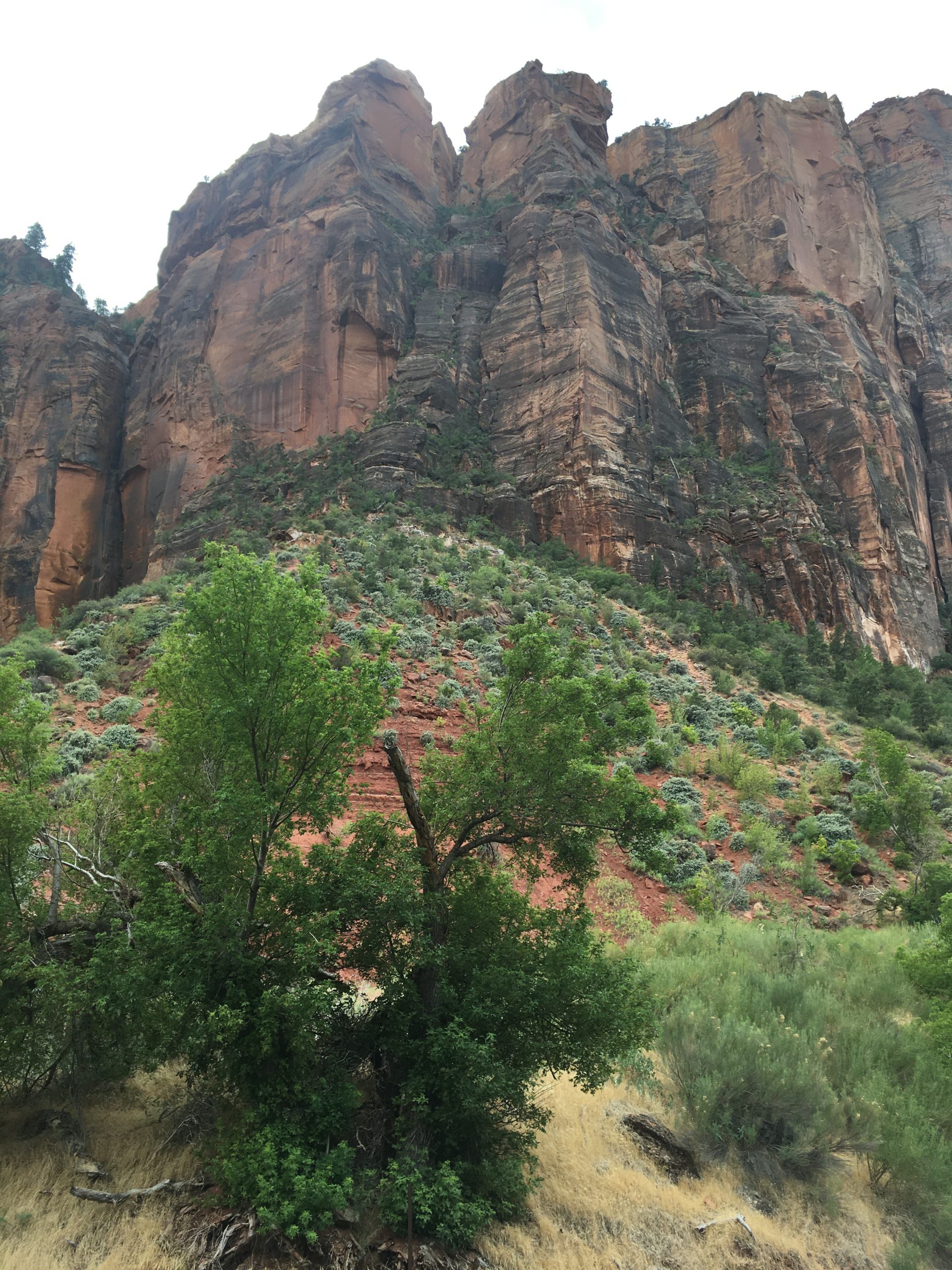
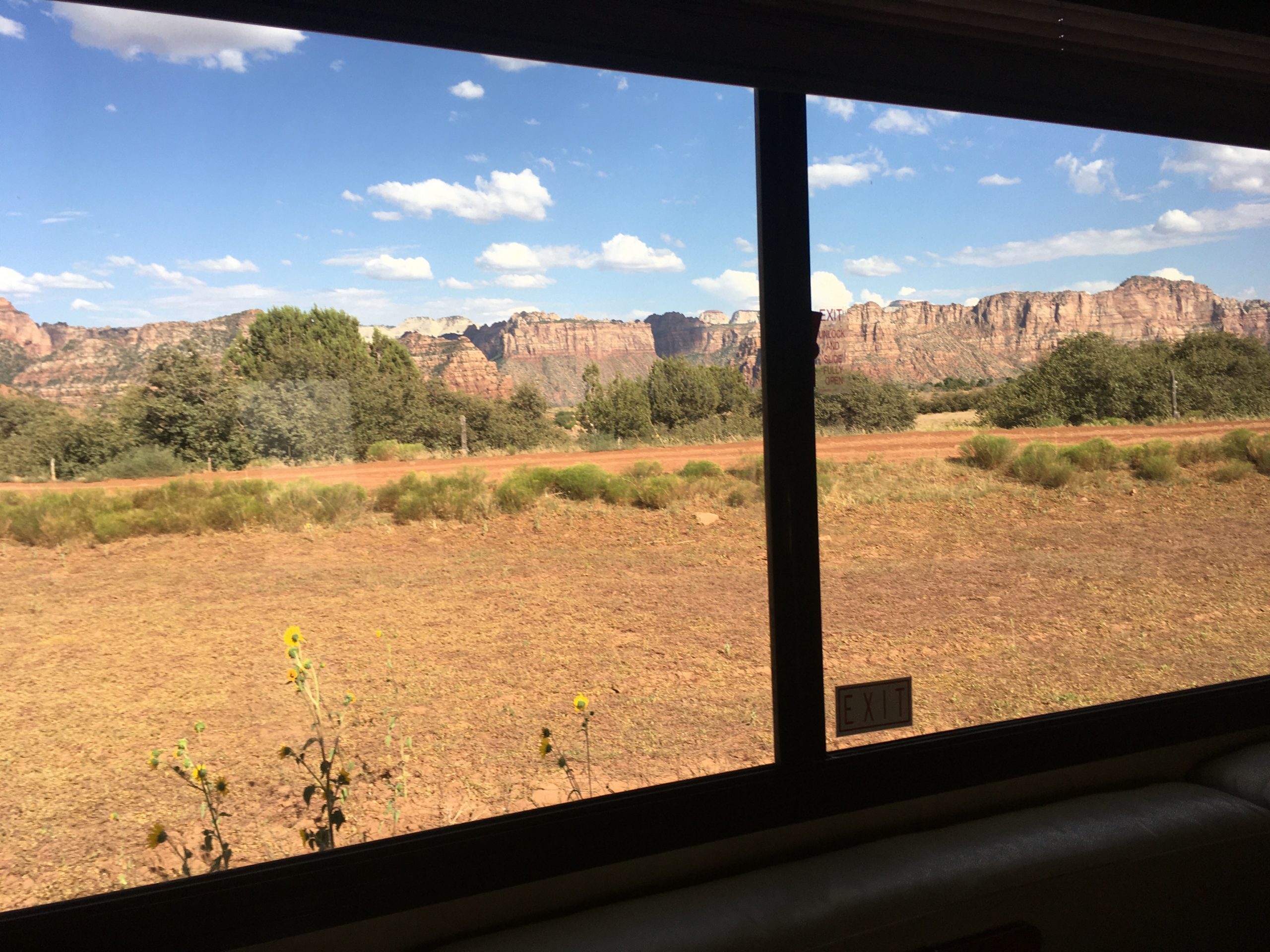
The scenery in Zion is just as breathtaking as the Grand Canyon and amazingly different at the same time. The rocks have a lot of the same colors but a lot of them are smooth. There’s a lot more sand colored cliffs and ridges too. We stopped at a turnout and took a few photos in all directions and it started to rain while we were out on the rocks. The smell of everything changed dramatically and the color of the rock changed too. I swear some of started to turn greenish.
The roads and tunnels in Zion are a feat of engineering that is beyond my comprehension. At the long tunnel it looked like there’s an tunnel next to the roadway for people to walk through to an overlook into the canyon below. We saw the mouth of the tunnel on the other side when we pulled over to gawk at the views. Words pale in comparison to the views. Towering, rounded hills in all directions.
As you come out of the park you come to the nice little tourist town of Springdale. We tried to stop in a few places but Springdale is very conscious of the money they make off parking. We pulled over just south of town and went to pay to park but realized were were in the wrong type of spot for our vehicle. We drove on looking for a valid spot but couldn’t find ANY! See ya later Springdale!
We found a produce stand further south and pulled over to check it out. While we were there a woman pulled in in front of us and saw the Maine license plate. She told Pam she had relatives in Maine! Small world. Mainers everywhere. Further outside of town we pulled over for lunch and to find a place to stay for the night. Pam had been trying to book a spot at a campground on Smith Mesa outside of Zion but her phone hadn’t been cooperating. During lunch we booked a spot at Smith Mesa Farm and, after we finished, we headed there.
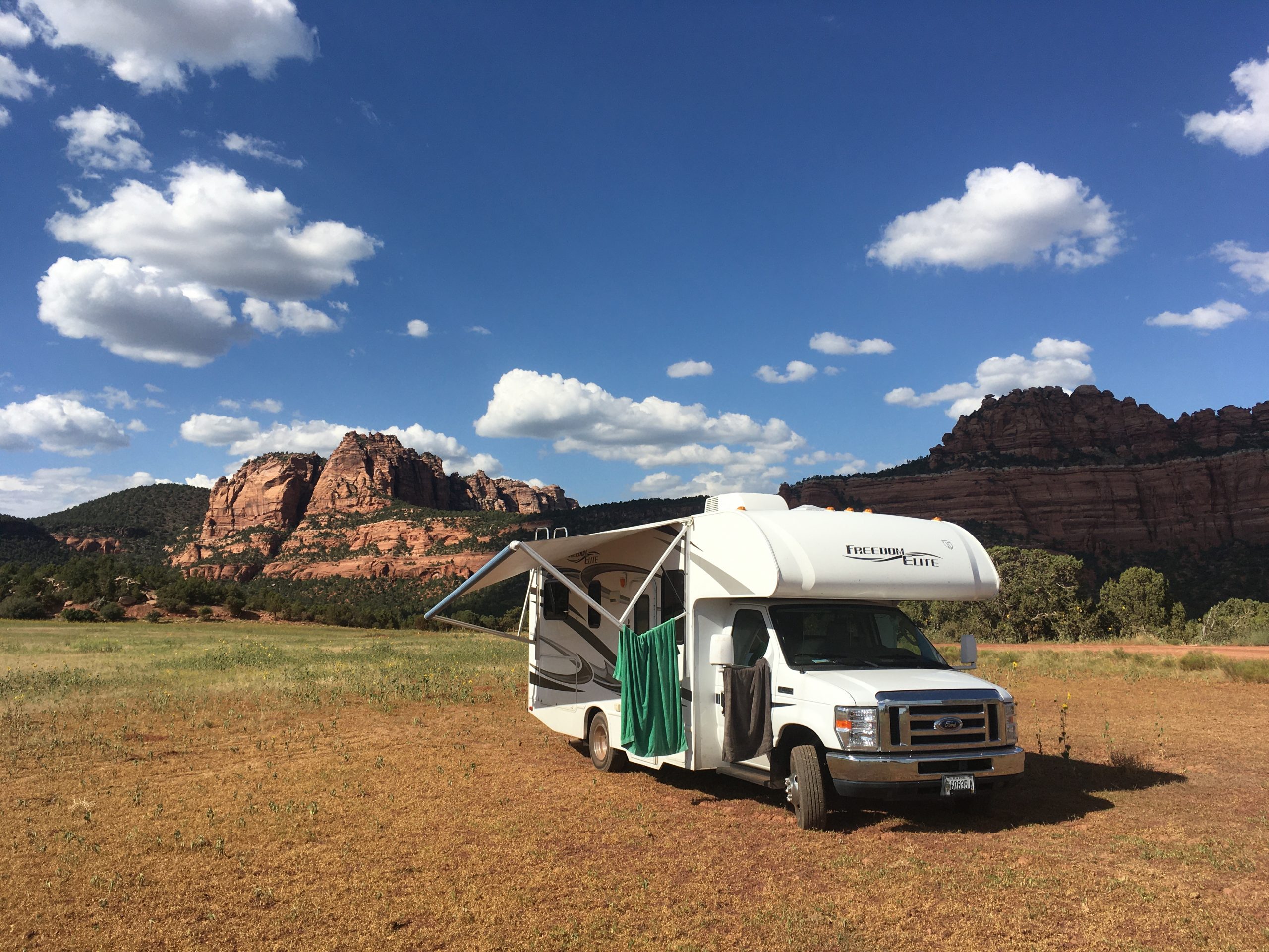
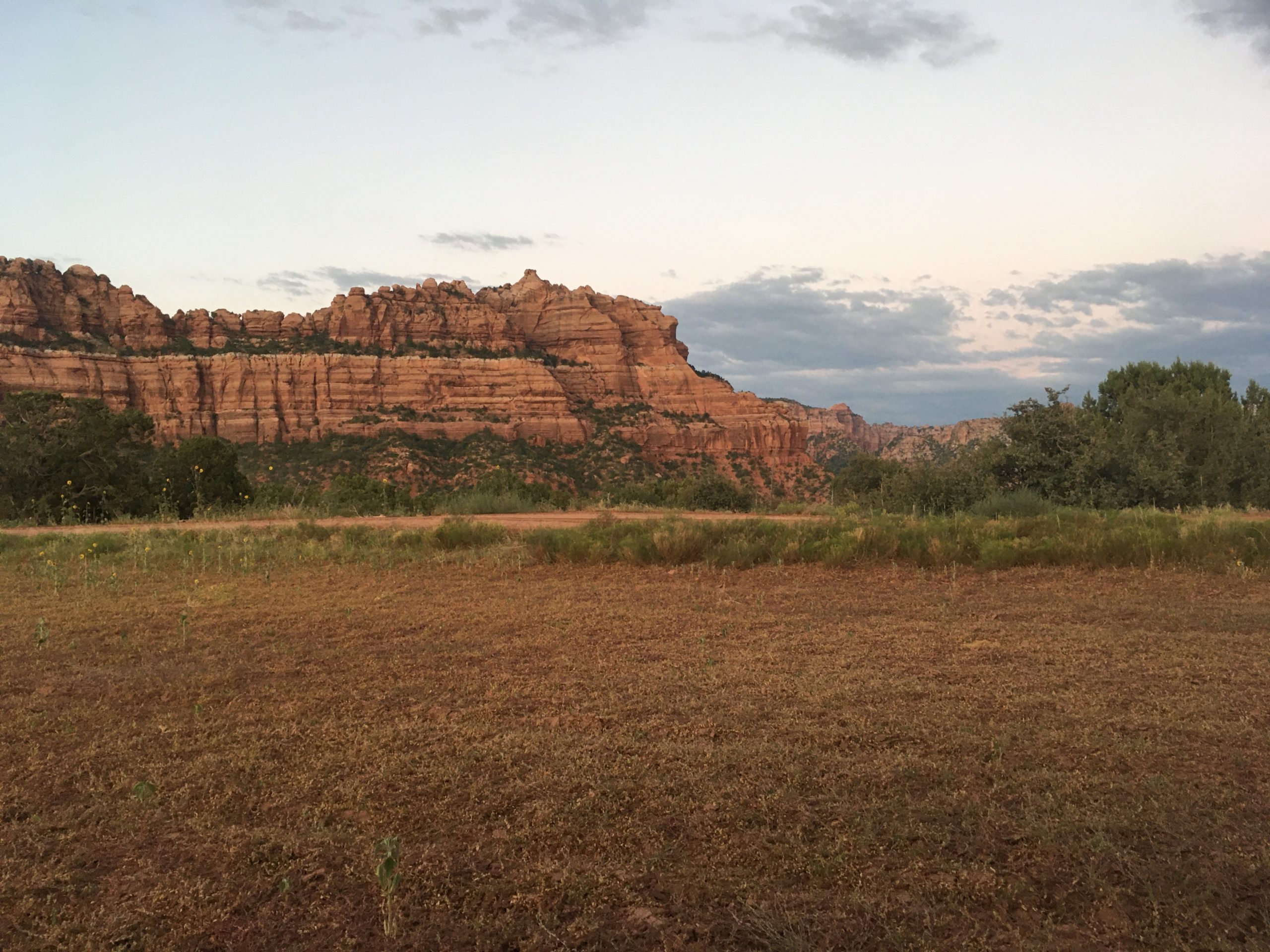
We drove into La Verkin to do some shopping. It was HOT! After loading up the supplies we turned on the navi to find out we had driven past the road to the campground. We backtracked to Smith Mesa road and started driving back up into the canyon towards the campground. We went up, and up. The road was a secondary road at this point with no center line. Then we came to the turn off. The entrance to the road was paved but soon the road turned to dirt. And soon it got hairy! Up, around, over, up, up, over, around! Pam was a little skeptical but the road was definitely wide enough fort vehicles and there were recent tire tracks so I wasn’t too worried. The Ford V10 wasn’t having any problems at all. After a mile or two of dirt, wide canyon road there’s a turnoff into the farm. The road gets a lot worse. You can see campers off in the meadows under trees, out in the open, etc.
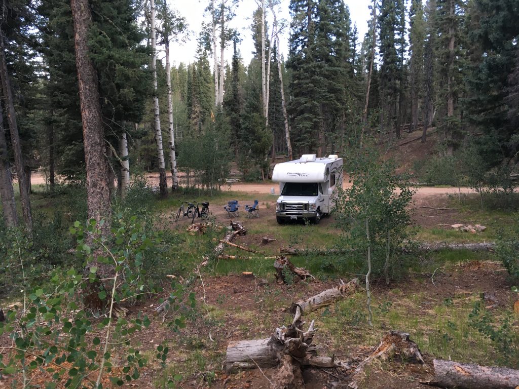
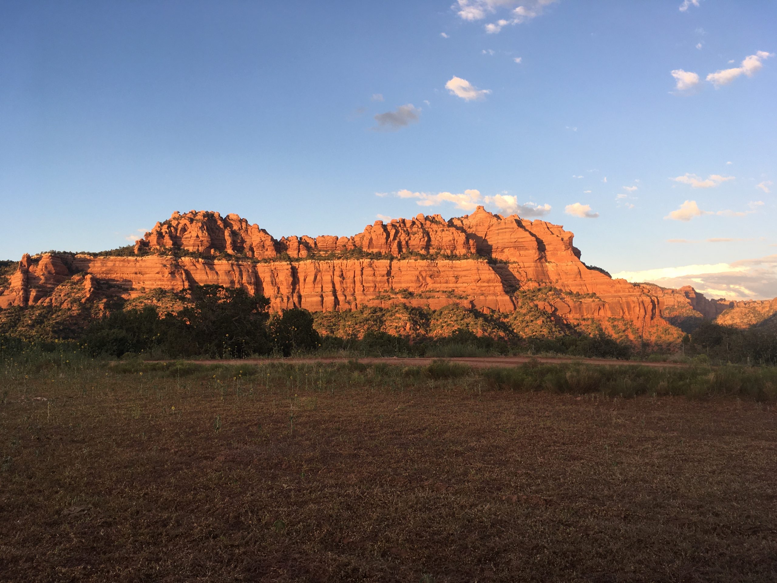
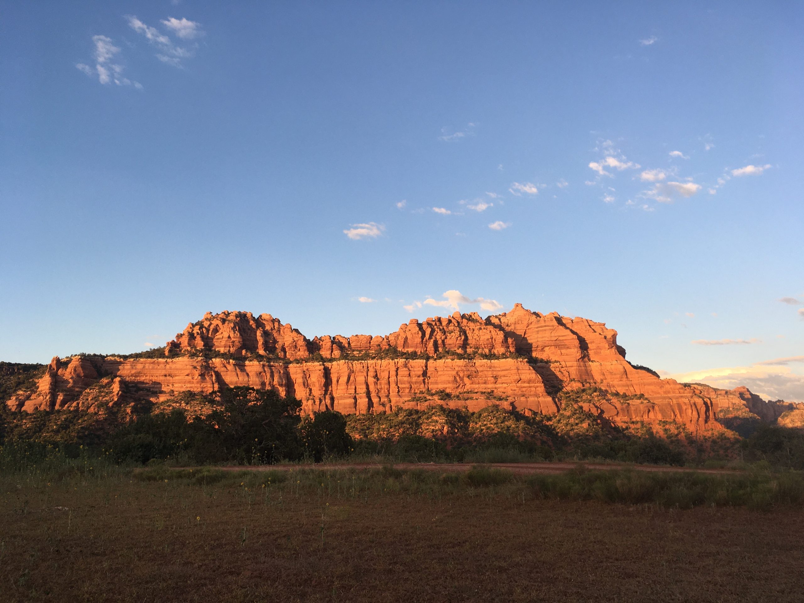
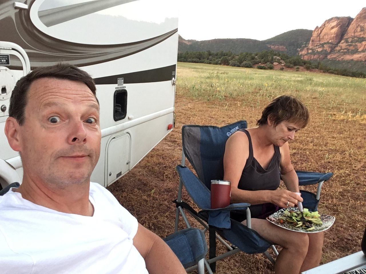
I wasn’t going to put the rig through too much off-roading to get to a spot. There is a field right next to the road that looked good to me so I drove off the road and worked the camper into a good, level position and we called it a day. There was a 360 degree view of mountain beauty. We got situated. Got the chairs out. Made a nice cool salad for dinner. Sat in our chairs and watched the sky while we ate. What an incredible day! Sensory overload!
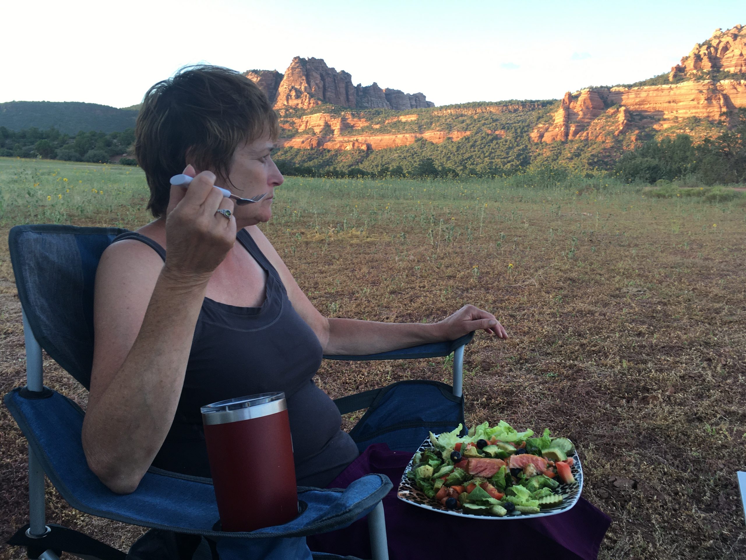
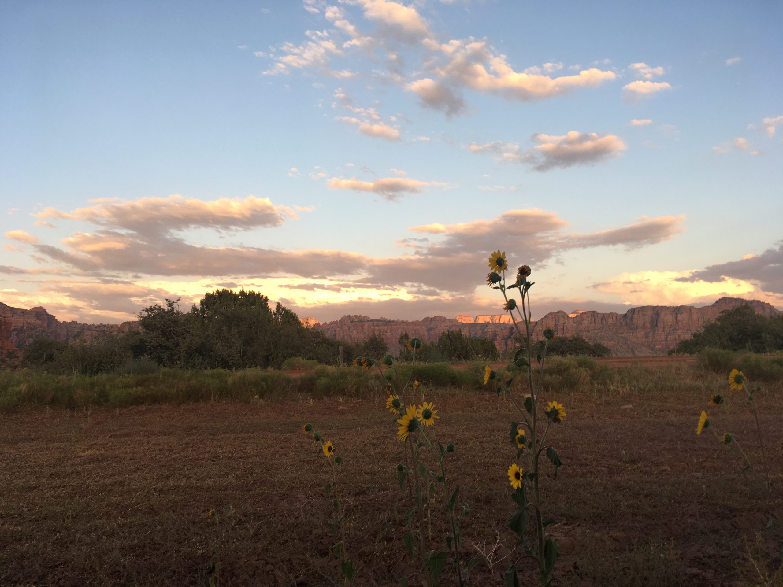
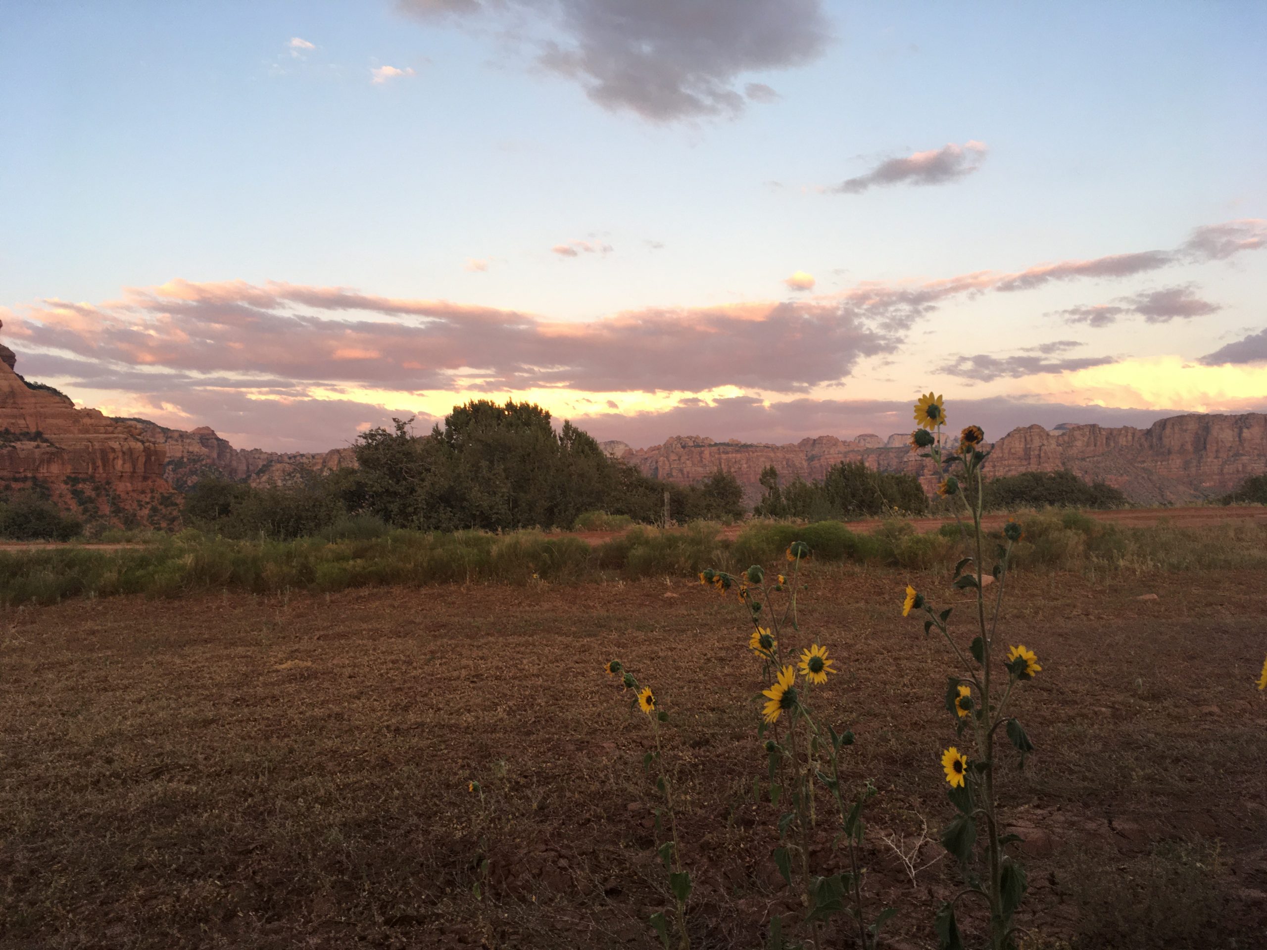
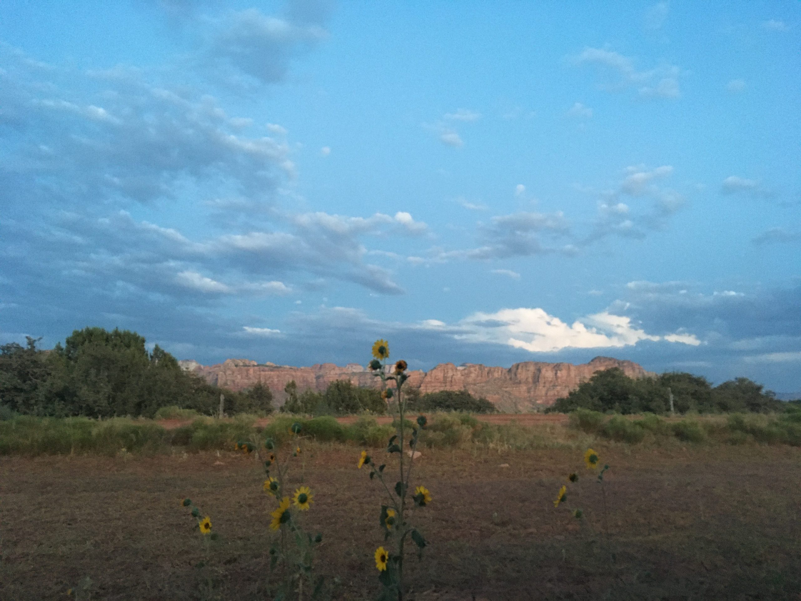
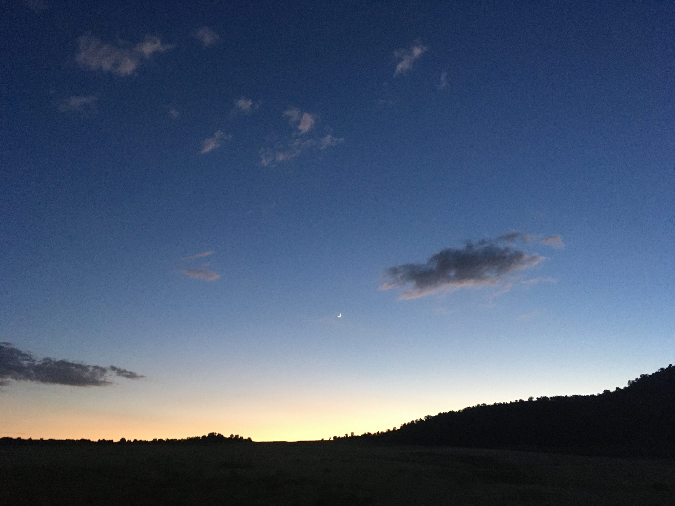
We lingered past sunset until the stars came out. After a while we were able to see the comet in the sky over by the Big Dipper. I got out the binoculars and looked at that baby until my eyes hurt. Incredible!